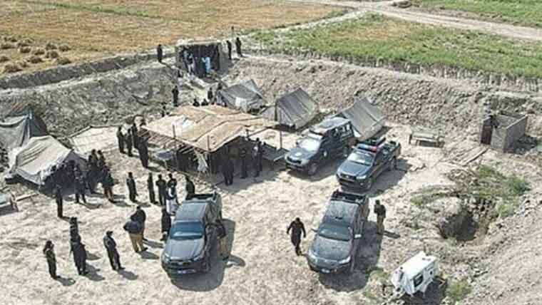

KARACHI: The Sindh cabinet, chaired by Chief Minister Syed Murad Ali Shah, has approved a budget of PKR 705 million to execute a comprehensive survey and mapping project of the Katcha riverine lands across the province. Titled “Survey of Katcha Land in Sindh,” the government-to-government (G2G) initiative will be carried out in partnership with the Survey of Pakistan.
Spanning 15.5 months, the project covers approximately 1.61 million acres across 613 rural settlements (dehs) within the Hyderabad, Sukkur, Larkana, and Shaheed Benazirabad divisions. The initiative is structured into two main phases—initially focusing on boundary demarcation, satellite imagery processing, and GIS mapping, followed by cadastral mapping, geo-tagging of land use, and parcel-level documentation.
The primary objectives of this undertaking are to establish a robust and accurate land database, enhance revenue management, prevent illegal encroachments on state lands, and promote environmental conservation. Chief Minister Shah has emphasized strict adherence to transparency and timely completion of the project to ensure effective and modern land administration in the province.